Hurricane Isaias heads toward Gulf Coast as warnings issued
The storm is expected to make landfall between Mississippi and the Florida Panhandle with 5‑7 foot surge and tornado risk.
By Felo News Desk · Published
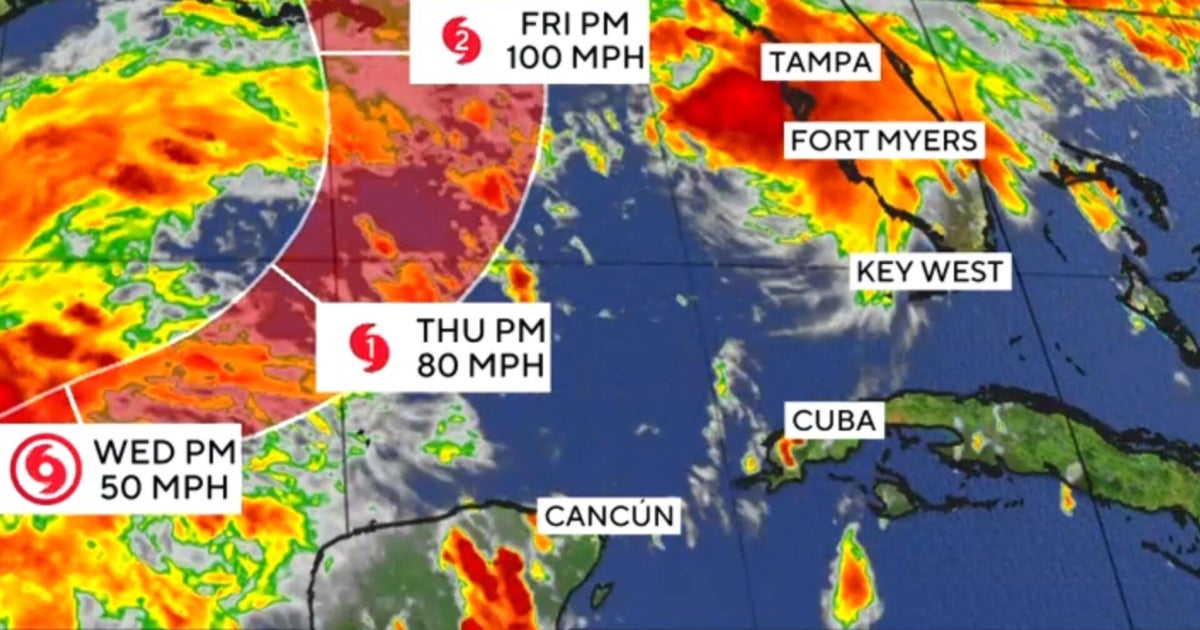
Hurricane Isaias, the season’s first hurricane, is tracking east‑northeast across the Gulf of Mexico and is expected to make landfall between Mississippi and the Florida Panhandle, according to the National Hurricane Center and NBC News.
What happened
Isaias strengthened from a tropical storm into a Category 1 hurricane late Wednesday. As of 8 a.m. ET Thursday, the storm was centered in the central Gulf, moving at about 9 mph (14 km/h). The National Hurricane Center warned that the storm could intensify further before landfall, though it might also weaken shortly before reaching the coast.
What the reports add
- Gizmodo reported that the National Weather Service issued hurricane warnings from Ocean Springs, Mississippi, across Alabama to the Bay/Gulf County line in Florida, and a storm surge warning from the mouth of the Mississippi River to Steinhatchee, Florida.
- The outlet noted that storm surge heights of 5‑7 feet are expected between Ocean Springs and Indian Pass, with sea‑level rises of 1‑5 feet as far west as Morgan City, Louisiana, and as far east as Egmont Key, Florida.
- It detailed projected rainfall of 3‑7 inches across the central Gulf Coast, with localized totals up to 10 inches, and 1‑3 inches farther inland.
- Gizmodo also highlighted the risk of flash and urban flooding, isolated river flooding, and the possibility of tornadoes, citing Washington Post meteorologist Ben Noll’s explanation of how dry air on the storm’s backside could clash with moist air to produce thunderstorm bands.
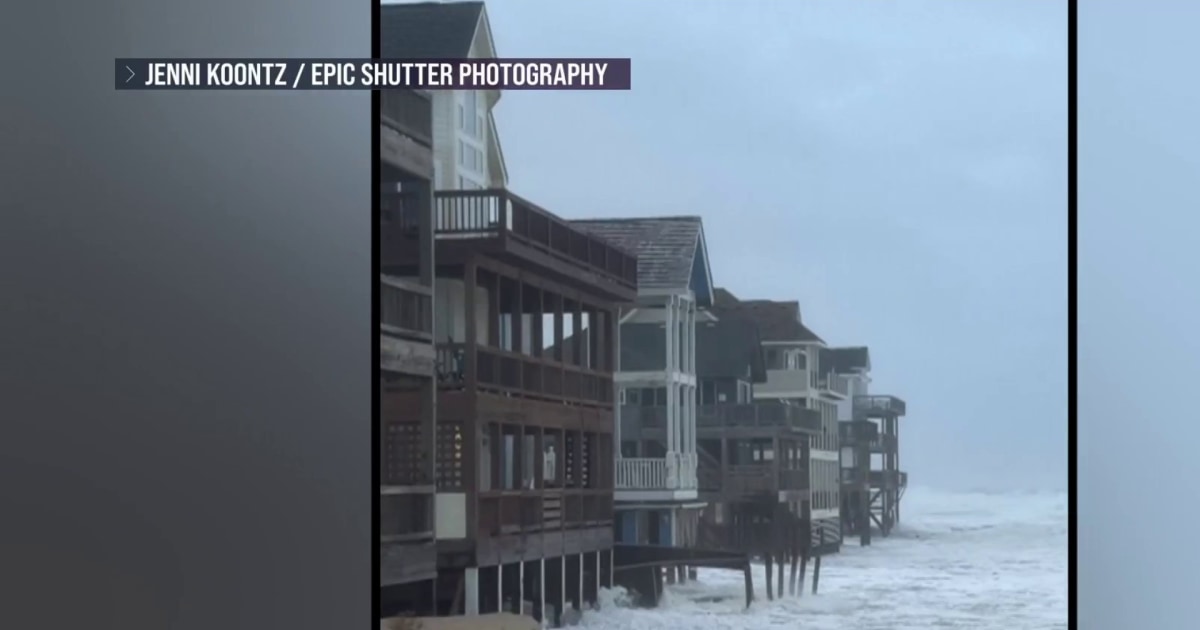
- NBC News’ video segment, aired on Oct. 8, 2026, showed Gulf Coast residents bracing for the storm and emphasized the scale of preparations, echoing the warnings described by Gizmodo.
What was said
"Residents in these areas should prepare for the possibility of long‑lasting power outages," the National Hurricane Center said, as reported by Gizmodo.
"The combination of storm surge and tide will cause normally dry areas near the coast to be flooded by rising waters moving inland from the shoreline," the NHC stated, according to Gizmodo.
Washington Post meteorologist Ben Noll explained that "as dry air is entrained into the back side of Isaias, it will clash with a moisture‑rich tropical air mass to the east and produce at least one arcing band of thunderstorms," as cited by Gizmodo.
How it came about
Felo’s earlier forecast on October 7 warned that Tropical Storm Isaias could become the first hurricane of the season and strike the Gulf Coast between eastern Louisiana and the Florida Panhandle (see article). The system originated as Tropical Depression Nine in the Bay of Campeche on October 6, which was already projected to move northward toward the Gulf (see article). Those earlier reports set the stage for the current hurricane warnings.
Key facts
- Isaias strengthened into a Category 1 hurricane late Wednesday. (gizmodo.com)
- As of 8 a.m. ET Thursday the storm was in the central Gulf moving east‑northeast at 9 mph. (gizmodo.com)
- Hurricane warnings were issued from Ocean Springs, Mississippi, across Alabama to the Bay/Gulf County line in Florida. (gizmodo.com)
- Storm surge warning covers the area from the Mississippi River mouth to Steinhatchee, Florida. (gizmodo.com)
- Millions on the Gulf Coast were preparing for surge, tornadoes and flooding. (nbcnews.com)
Timeline
- 2026-10-06 — Tropical Depression Nine formed in the Bay of Campeche and was forecast to move toward the Gulf Coast.
- 2026-10-07 — Felo forecasted that Tropical Storm Isaias could become a hurricane and hit the Gulf Coast.
- 2026-10-08 — Isaias upgraded to Category 1 hurricane and began moving east‑northeast across the Gulf.
Sources
- [1] nbcnews.com
- [2] gizmodo.com