Opencast Mining Triggers Faults and Subsidence in Germany
Studies of the Rhenish coalfields show that groundwater extraction for opencast mining lowered the water table, causing subsidence up to 20 km from the pit and re‑awakening geological faults. Satellite and field data reveal cracks in buildings and roads, including a school that has shifted half a m…
By Felo News Desk · Published
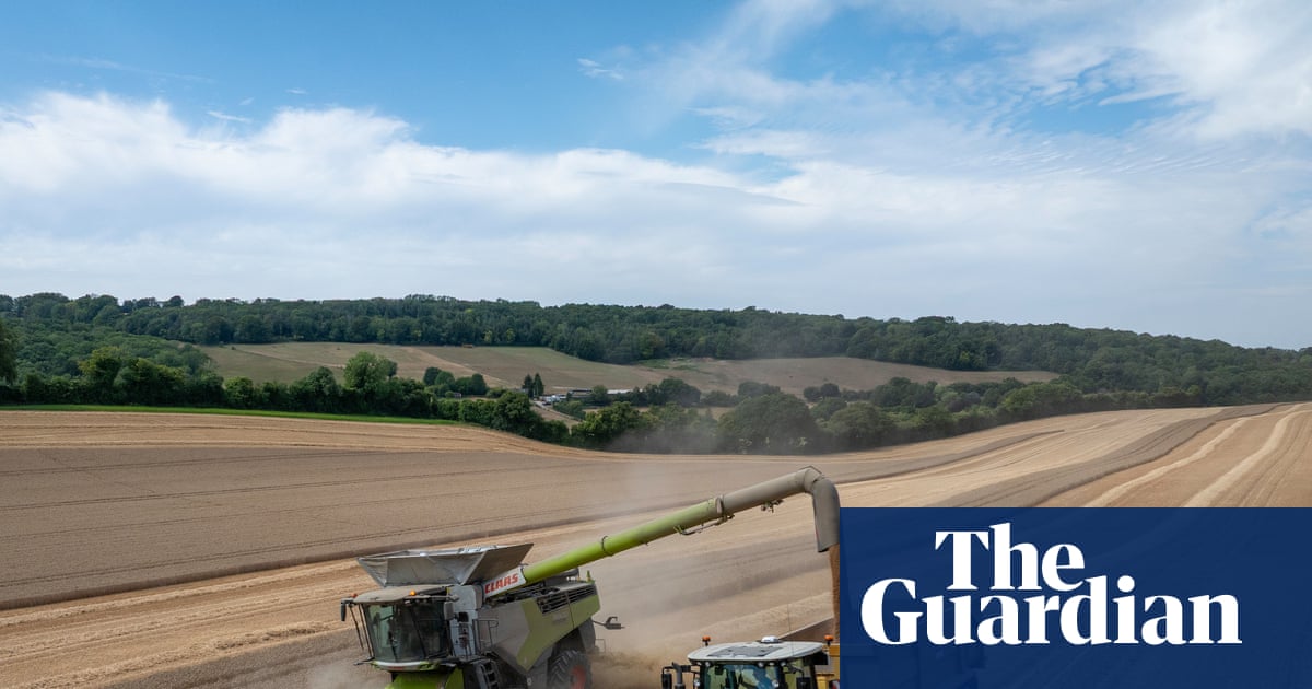
Opencast coal mining in western Germany is doing more than just carving out a pit. Recent research has uncovered that the practice is triggering widespread ground subsidence and re‑activating dormant geological faults, posing a serious risk to nearby infrastructure and communities.
How the Problem Began
Between Aachen and Cologne, the Rhenish coalfields have long been a source of energy for the region. To keep the open‑pit operations safe, mining companies must remove large volumes of groundwater from the surrounding area. This pumping lowers the water table, which in turn reduces the support that groundwater provides to the earth’s crust. As the support diminishes, the ground above the mine slowly settles, a process known as subsidence.
While underground mines have a well‑documented history of causing subsidence, the effects of opencast mines have received less attention. The new study, published in the journal Engineering Geology, fills that gap by combining satellite imagery with on‑site geological measurements.
Satellite Data Meets Ground Truth
Researchers from the GFZ Helmholtz Centre for Geosciences in Potsdam used high‑resolution satellite images to track minute changes in the earth’s surface over several years. They then cross‑checked these observations with field measurements taken directly at the mine and its surroundings.
The data revealed that subsidence extended up to 20 km (about 12 miles) from the edge of the pit—a distance that far exceeds the visible boundary of the mine. More strikingly, the most pronounced ground movement did not occur randomly; it clustered along pre‑existing geological faults. These faults, which had been dormant for centuries, were re‑awakened by the stress changes caused by the mining‑induced subsidence.
Concrete Consequences for Residents
The effects of this hidden danger are already visible in the local landscape. Cracks have appeared in roads, bridges, and buildings, and a nearby school has been documented to have shifted by half a metre. Such movements can compromise structural integrity, increase maintenance costs, and pose safety risks to the public.
Because the mining operations continue, the subsidence is expected to persist for decades. The ongoing extraction of groundwater and the continued removal of coal will keep the earth’s support system in flux, potentially leading to further fault re‑activation and ground movement.
Mapping the Hazard for the Future
One of the most promising outcomes of the study is the development of regional subsidence hazard maps. By overlaying satellite data with geological fault lines, scientists can identify areas that are most vulnerable to future ground movement.
These maps can inform local governments and planners, enabling them to design infrastructure that is resilient to subsidence. For example, roads can be built on flexible foundations, buildings can be retrofitted with seismic‑proofing techniques, and critical utilities can be rerouted to avoid high‑risk zones.
In addition, the mapping approach can be adapted to other opencast mining regions worldwide, providing a valuable tool for communities facing similar challenges.
What’s Next for the Rhenish Coalfields?
While the study highlights significant risks, it also offers a pathway toward safer mining practices. Continued monitoring using satellite technology and ground surveys will be essential to track changes over time.
Policymakers may need to consider stricter regulations on groundwater extraction or invest in alternative energy sources to reduce the need for opencast mining. In the meantime, local authorities can use the new hazard maps to prioritize repairs and upgrades to the most vulnerable infrastructure.
Ultimately, the research underscores the importance of integrating scientific insight into the planning and operation of large‑scale mining projects, ensuring that communities can thrive even in the shadow of industrial activity.
Why This Matters
Understanding how opencast mining can trigger fault re‑activation and widespread subsidence is crucial for protecting lives, property, and the environment. The new mapping tools offer a practical solution to mitigate these risks and guide resilient development.
Key facts
- Opencast mining in Germany triggers subsidence up to 20 km from the pit.
- Groundwater extraction lowers the water table, weakening crust support.
- Fault re‑activation causes cracks in roads, buildings, and schools.
- Satellite data and field measurements produce regional subsidence maps.
- Ongoing mining will likely keep the ground moving for decades.
- Resilient infrastructure and alternative energy policies can mitigate risks.
Why it matters
The study reveals that opencast mining can destabilize large areas by re‑activating faults, threatening infrastructure and safety. Accurate hazard mapping offers a proactive tool for communities to adapt and protect themselves.
Frequently asked questions
What is subsidence?
Subsidence is the gradual sinking of the ground surface caused by the removal of underground material or changes in groundwater levels.
Why are geological faults re‑activated?
The stress changes from ground movement can trigger fault slip, especially if the faults were previously dormant.
Can the subsidence be stopped?
While it cannot be completely halted, reducing groundwater extraction and monitoring ground movement can mitigate its impact.
How do hazard maps help?
They identify high‑risk areas, guiding infrastructure design and emergency planning.
Sources
- [1] theguardian.com — originally reported as “How opencast mining risks reawakening dormant geological faults”