Brief
Satellite images reveal Gaza’s devastation after three years of conflict
New satellite data shows widespread destruction across Gaza, with 200,000 structures damaged and two‑thirds destroyed, according to UN agencies.
By Felo News Desk · Published
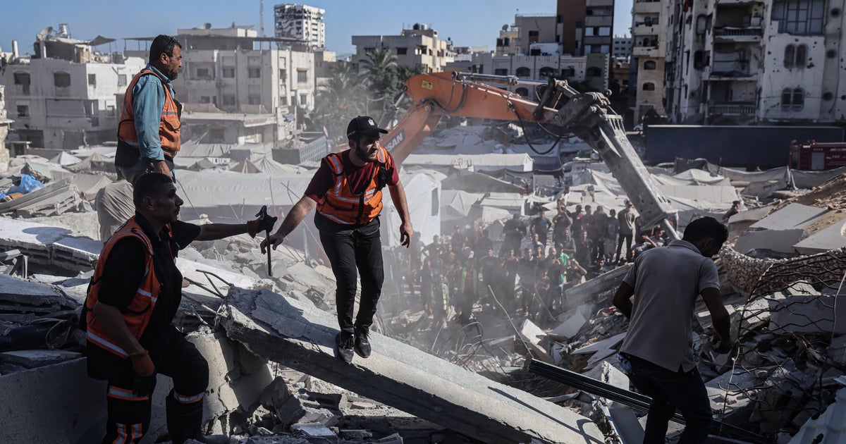
Google Maps satellite images released in September 2026 show that almost 82 % of buildings in the Gaza Strip have been damaged, and about two‑thirds of those have been destroyed, a UN satellite centre assessment found. The images, taken from Rafah in the south to North Gaza, illustrate a landscape where neighbourhoods have been reduced to rubble and farmland charred.
The United Nations Satellite Centre (UNOSAT) reported a 9 % rise in destroyed structures since a ceasefire took effect nearly a year earlier. The UN agency for Palestinian refugees, UNRWA, estimates roughly 200,000 buildings have been damaged across Gaza.
Al Jazeera’s comparison of pre‑war and current images shows the southern city of Rafah, once a major refuge for displaced Palestinians, now largely wiped out. The Tal as‑Sultan neighbourhood has been almost entirely destroyed, leaving little more than sand where homes once stood. The coastal strip of Al‑Mawasi, declared a humanitarian zone early in the war, has been bombed repeatedly, leaving it covered in tents and packed with families.
The satellite images also highlight the scale of damage in Khan Younis, the governorate with the highest number of damaged structures in UNOSAT’s October 2025 assessment, with 51,885 buildings reported affected.
Key facts
- 82% of Gaza’s buildings damaged, two‑thirds destroyed (aljazeera.com)
- UNOSAT found a 9% increase in destroyed structures since a ceasefire (aljazeera.com)
- 200,000 buildings damaged across Gaza (aljazeera.com)
- Tal as‑Sultan neighbourhood in Rafah almost entirely wiped out (aljazeera.com)
- Al‑Mawasi coastal strip bombed repeatedly, now covered in tents (aljazeera.com)
- Khan Younis had 51,885 damaged buildings in UNOSAT’s 2025 assessment (aljazeera.com)
Background
The images come amid heightened international scrutiny of Israel’s conduct in Gaza, following the release of the documentary NAZA and the ongoing debate over military accountability.
Timeline
- 2024-05-01 — Israel begins operations in Rafah, forcing displacement
- 2025-10-01 — UNOSAT assessment reports 51,885 damaged buildings in Khan Younis
- 2026-09-29 — Al Jazeera releases satellite imagery of Gaza’s destruction
Why it matters
The data underscores the humanitarian toll of the conflict and informs international discussions on aid and accountability.
What happens next
UN agencies and humanitarian groups are calling for intensified relief efforts and stricter safety inspections of damaged buildings.
Sources
- [1] aljazeera.com — originally reported as “Satellite images show Gaza in ruins three years into Israel’s genocidal war”